Drone Property Inspections & Mapping
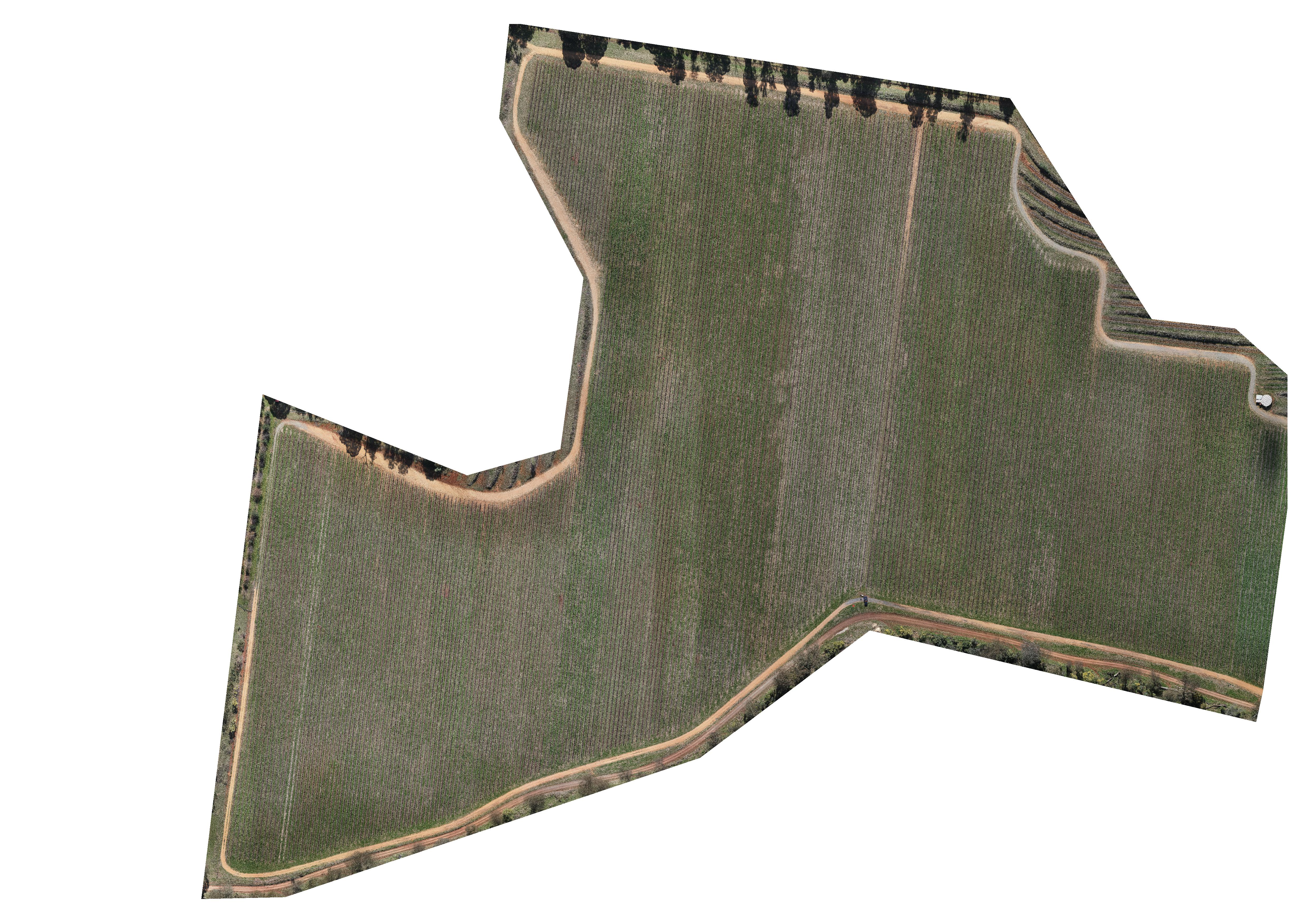
We offer aerial inspections and mapping of your property. Click image to learn more.

0427 111 177

We offer aerial inspections and mapping of your property. Click image to learn more.

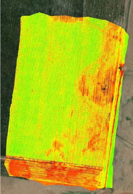
Using the Micasense Altum High Resolution Multispectral Camera, we can generate Plant Health Maps. Click image to learn more.

Using high resolution and/or thermal imaging, we can complete animal survey's. Click image to learn more.